About Us
Our Story
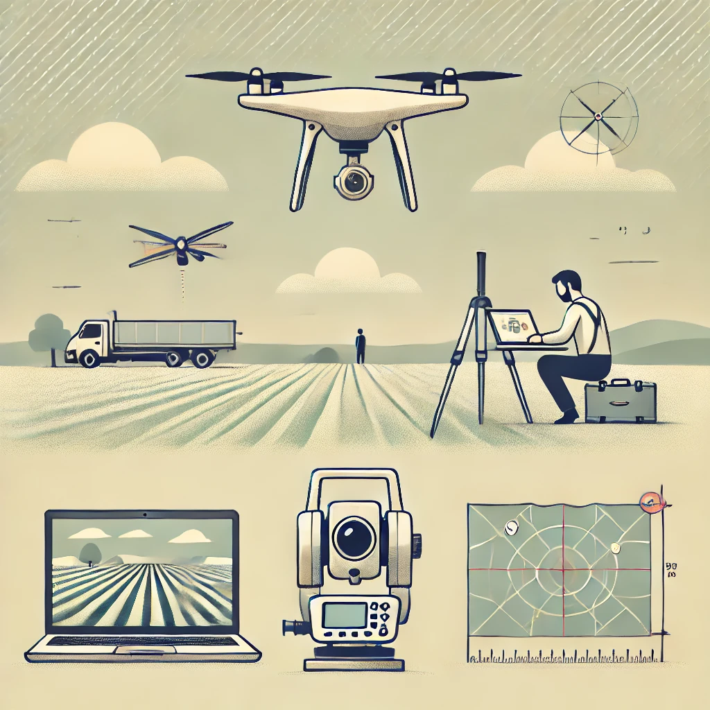
Our journey began over 15 years ago with a vision to harness the power of geospatial technology. We saw the potential of GIS, remote sensing, and spatial data analysis to solve complex challenges in urban planning, agriculture, and environmental management. From these beginnings, we grew into a leading geospatial consultancy, offering tailored, data-driven solutions.
With a focus on innovation, we’ve embraced the latest technologies like UAVs, LiDAR, and satellite imagery, ensuring our clients have access to cutting-edge tools. Our story is about building lasting partnerships and delivering precise, sustainable solutions that drive success across industries.
We are driven by values
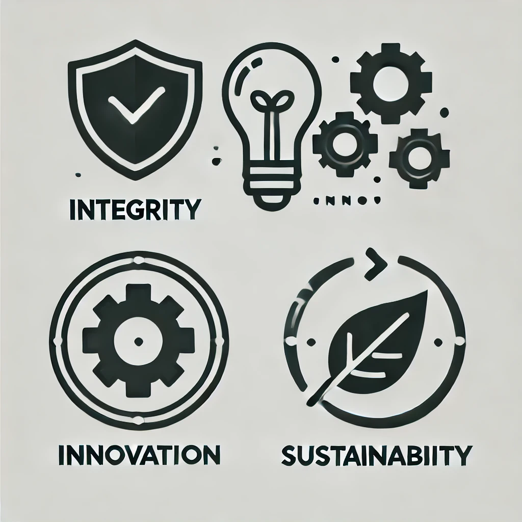
Integrity, innovation, and sustainability are the core values that shape our approach and guide every solution we deliver. We are committed to providing reliable, high-quality geospatial services that meet client needs while contributing to a more sustainable and resilient world. By combining strong ethical practices with advanced geospatial technologies, we ensure that every project is executed with transparency, accuracy, and long-term value.
Our teams leverage cutting-edge tools and methodologies—including GIS, remote sensing, spatial analytics, and automation—to deliver impactful, data-driven results tailored to real-world challenges. Through continuous improvement and responsible innovation, we help clients enhance planning, optimize operations, and improve decision-making across multiple sectors. Above all, we focus on building trusted, long-lasting partnerships by delivering solutions that create measurable outcomes and positive impact for the communities and environments we serve.
Results Oriented Growth
We focus on measurable outcomes that drive sustainable growth and lasting value.
Client Collaboration
We work closely with clients to co-create solutions aligned with their goals and priorities.
Data-Driven Creativity
We combine innovation with analytics to deliver smarter, evidence-based geospatial solutions.
The Team Behind
Our team brings together skilled GIS experts, remote sensing specialists, and engineers dedicated to excellence. With strong technical expertise and a collaborative approach, we deliver reliable geospatial solutions that create real impact.
Ahmad Bilal
GIS Specialist

Areeba Saher
Web GIS Specialist

Amjad Hafiz
Geo AI Engineer

Ayesha Nadeem
LiDAR Data Analyst
Join our team!
Feeling inspired? Join the team
Be part of a team delivering impactful geospatial solutions. Grow your career with innovation, learning, and real-world projects.