Business Strategy
We grow by delivering reliable geospatial solutions powered by innovation and data intelligence. Our strategy focuses on client partnerships, advanced technology adoption, and scalable service delivery to create measurable outcomes.
Our Projects
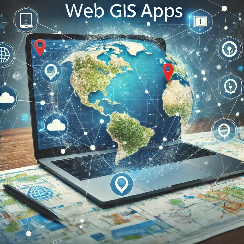
Web GIS Applications
Our Web GIS applications deliver powerful, interactive mapping platforms that enable users to visualize, analyse, and manage spatial data in real time. We develop secure and scalable GIS portals, dashboards, and decision-support systems that integrate GeoServer, PostGIS, and modern web mapping frameworks. These applications support multi-user collaboration, role-based access, and automated reporting, helping government and industry monitor assets, plan infrastructure, and make faster data-driven decisions.
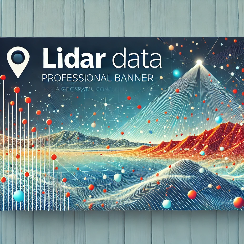
LiDAR Data Capturing
We provide high-accuracy LiDAR data capturing services to generate detailed 3D information for engineering, planning, and environmental analysis. Using advanced airborne and terrestrial LiDAR techniques, we collect dense point clouds that enable precise terrain modeling, elevation profiling, feature extraction, and volume computations. Our LiDAR outputs support road and dam design, flood modelling, urban mapping, vegetation assessment, and digital twin development with exceptional accuracy and reliability.

Drone High Resolution Imagery
Our drone-based high-resolution imagery services deliver rapid, cost-effective, and highly detailed spatial data for project monitoring, mapping, and inspections. We capture centimetre-level orthomosaics and 3D models for infrastructure, agriculture, land use, and construction sites. By integrating UAV imagery with GIS analytics, we provide actionable insights including progress verification, change detection, site measurements, and risk identification through ensuring improved transparency and smarter project execution.
Let’s Work Together on Your Next Geospatial Project
We provide end-to-end geospatial services including GIS development, remote sensing, spatial analytics, and AI-based automation, ensuring scalable solutions for complex projects.
Spatial Eagle 360 Pvt Ltd