Portfolio

Drone Technology
We provide high-precision UAV surveys for mapping, inspections, and rapid data collection. From orthomosaics to 3D models, drones deliver accurate insights for smarter project decisions.

GIS Engineering
We design and develop GIS systems that transform spatial data into actionable intelligence. Our solutions enable efficient planning, asset management, and informed decision-making.
Web GIS
We build interactive Web GIS platforms that provide real-time spatial visualization and analytics. Access maps and dashboards anywhere—supporting collaboration, monitoring, and faster decisions.
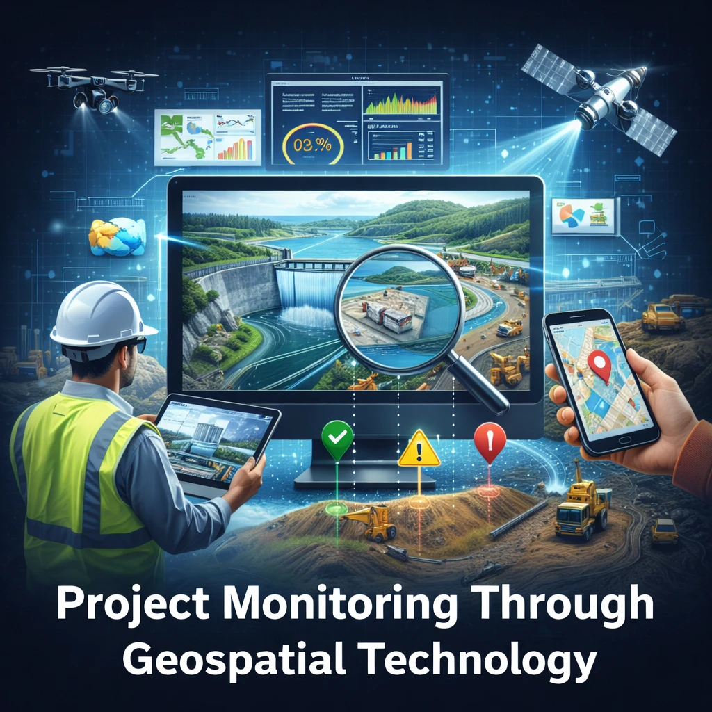
Project Monitoring Through Geospatial Technology
Our monitoring approach ensures transparency, improves accountability, reduces disputes, and supports smarter project governance. With clear spatial evidence and real-time analytics, stakeholders can take timely corrective actions, enhance resource planning, and ensure project delivery with confidence.
Key Features
1- Progress Tracking & Verification
2- Change Detection & Risk Alerts
3- GIS Dashboards & Reporting
4- Field Monitoring & Compliance
Progress Tracking & Verification: Quantify completed work using
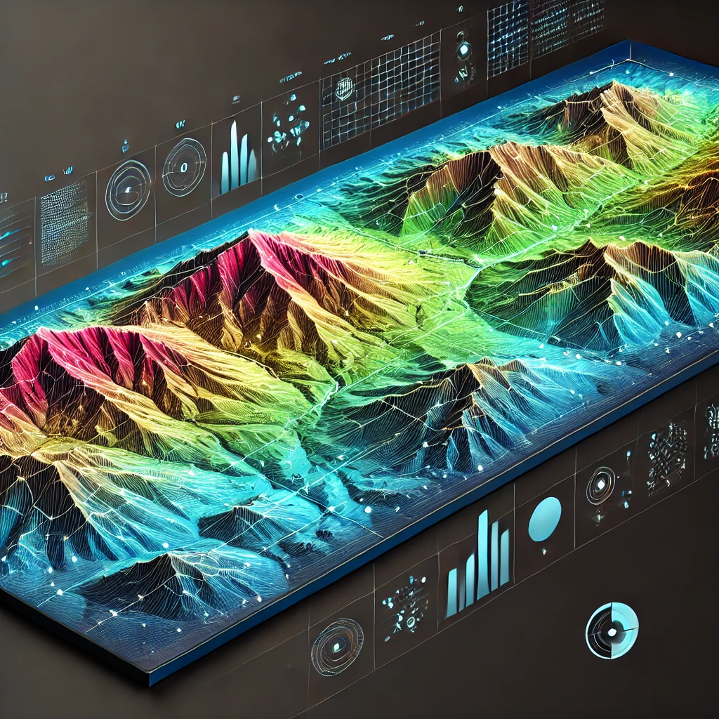
3D Terrain Development
We create high-accuracy 3D terrain models using UAV, LiDAR, and satellite datasets for engineering-grade analysis. Support planning and design with DEM/DSM surfaces, contours, slope, and volume calculations.
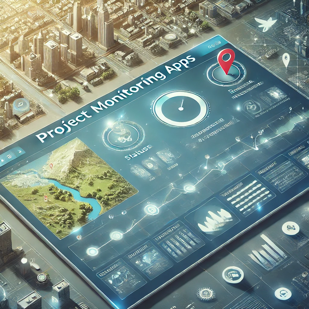
Monitoring Dashboard Development
We develop real-time monitoring dashboards that integrate GIS maps, KPIs, and field data for project visibility. Track progress, detect risks early, and generate automated reports for informed decision-making.
Let’s Work Together on Your Next Geospatial Project
We provide end-to-end geospatial services including GIS development, remote sensing, spatial analytics, and AI-based automation, ensuring scalable solutions for complex projects.
Spatial Eagle 360 Pvt Ltd