

Customization & Flexibility
Services are tailored to meet unique client needs, offering scalable and adaptive solutions that evolve with changing requirements.

Cutting-Edge Technology
Leveraging the latest advancements in Al, automation, and cloud computing to deliver efficient, accurate, and innovative solutions.
User – Centric Approach
A focus on delivering seamless user experiences, ensuring intuitive interfaces, easy access, and responsive support across all touch points.
Sustainability Proofing
Emphasizing eco-friendly practices and long-term viability, ensuring solutions are built to last and adapt to future technological shifts.
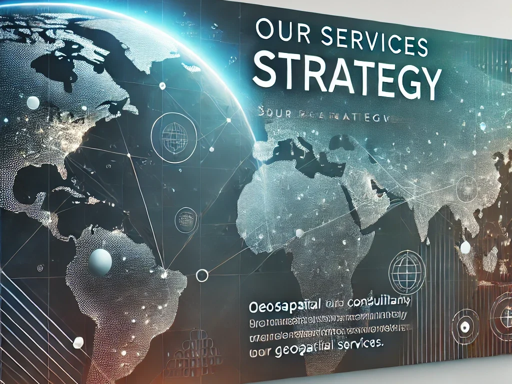
Signature Projects
Explore our signature projects, where innovation meets precision. Each project reflects our commitment to delivering cutting-edge geospatial solutions that drive success across industries.
Satellite Imagery Integration for Precision
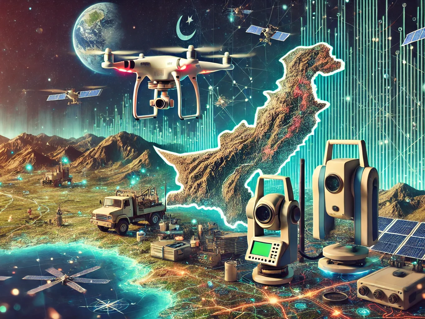
Survey and Mapping through Drones

“We deliver high-impact geospatial solutions that enable smarter planning and stronger decision-making. Our mission is precision, innovation and for every client.“
Engr. Faisal Nadeem Saher
CEO
“We ensure geospatial projects are delivered with transparency, efficiency, and maximum value. Our focus is sustainable execution within budget and measurable outcomes.”
Engr. Muhammad Waseem Asghar
Director (Finace)

“We build partnerships to deliver tailored GIS, remote sensing, and AI-based spatial solutions. Let’s collaborate to turn your geospatial needs into actionable results.”
Engr. Inam Minhas
Director (business development)

AI Based Geo-Spatial
AI-based geospatial solutions are transforming the way organizations collect, process, and interpret spatial data, revolutionizing data analysis by delivering faster, deeper, and more accurate insights for strategic decision-making. By integrating artificial intelligence with GIS and remote sensing workflows, complex datasets can be analysed at scale with improved consistency, reduced human effort, and stronger reliability. Harness the power of machine learning to automate feature extraction, detect changes over time, and optimize spatial data processing across multiple sources such as satellite imagery, UAV data, terrain models, and sensor networks. These capabilities not only enhance operational efficiency, but also strengthen predictive modelling, enabling early risk identification, smarter resource allocation, and forward-looking planning for infrastructure, environment, agriculture, and urban development.
Hydro-Infrastructure
Leverage geospatial technology to optimize hydro-infrastructure through accurate mapping, intelligent monitoring, and data-driven management of critical assets such as dams, canals, reservoirs, distribution networks, and irrigation systems. By integrating GIS, remote sensing, and field-based data collection, stakeholders can develop precise inventories of water infrastructure, evaluate system performance, and identify bottlenecks, damages, or inefficiencies across large command areas. Advanced spatial analysis supports improved planning and decision-making by modeling water flow patterns, irrigation demand, canal seepage, and service delivery efficiency at different scales—from basin level to individual distributaries. Real-time monitoring using satellite observations, IoT sensors, and automated dashboards enables early warning for flooding, structural risks, and operational failures, while supporting timely maintenance and rapid response. These geospatial capabilities significantly enhance water resource efficiency, strengthen sustainability, and support long-term resilience by enabling better allocation, improved governance, and optimized water use under changing climate and demand conditions.

Let’s Work Together on Your Next Geospatial Project
We provide end-to-end geospatial services including GIS development, remote sensing, spatial analytics, and AI-based automation, ensuring scalable solutions for complex projects.
Spatial Eagle 360 Pvt Ltd